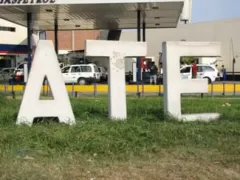
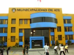
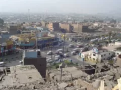
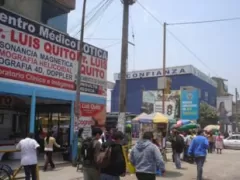
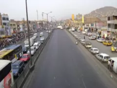
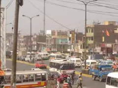
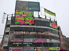
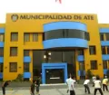
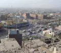
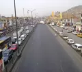
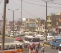
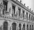
Ate-Vitarte is located in the central eastern part of the Metropolitan of Lima on the south banks of the Rio Rimac. The district was created shortly after the declaration of independence by General José de San Martin. The old town of Ate is located around 14 km east of the Historic Centre of Lima. From the middle of the 19th century onwards Ate-Vitarte was the industrial zone of Lima where mainly textile factories where established.
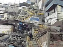
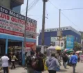
Around the factories working-class townships developed quickly. Ate-Vitarte unfortunately lost its former character and charm due to a high population increase (a result of immigration from Peru's provinces) and the decentralization of the Capital in combination with a missing urban planning.
Nevertheless the district of Ate-Vitarte can look back on a rich pre-Hispanic history. Archaeological remains of high value are located within Ate-Vitarte's boundaries and make the district worth a visit. Located also in Ate-Vitarte is the Ecological and Recreational Center of Huachipa (one of Lima's two zoos).
Facts & Figures about Ate Vitarte
The district of Ate-Vitarte was officially confirmed by law on the 4th of August 1821 through General José de San Martin, shortly after the declaration of independence. Ate-Vitarte is located in the central eastern part of the Lima Metropolitan on the south banks of the River Rimac. Ate-Vitarte is connected with Lima through the 'Carretera Central' (the Central Highway) that links Lima with the regions of the central and eastern parts of Peru.
The district of Ate-Vitarte is limited by the districts of Lurigancho (Chosica), San Juan de Lurigancho, Santa Anita and El Agustino in the north, by the district of Chaclacayo in the east, by the districts of La Molina, Cieneguilla and Santiago de Surco in the south and by the districts of San Luis and San Borja in the west.
Brief History of Ate Vitarte
The area, today known as Ate-Vitarte, was already inhabited by different cultures and communities long before the Inca Empire. A good example of the highly developed cultures living in the Ate-Vitarte region is among many others the archaeological excavation site of Puruchuco. During colonial times big plots of the inviting and fertile land were given to Spanish immigrants who planted orchards and built their country houses.
Shortly after independence, General José de San Martin created the Province of Lima consisting of the districts of Lima, Ancón, Ate-Vitarte, Carabayllo and Chorrillos. Between 1855 and 1862 the government granted Carlos López Aldana the land in the center of the district of Ate-Vitarte, known as Vitarte, to develop the national industry. He founded the first textile factories with housing around them for the workers. With other industries settling nearby the district became quickly the main industrial zone of Lima.
In the year 1910 the Peruvian union movement began in Vitarte that finally achieved a free Sunday for workers in 1918 and a maximum of 8 working hours per day. To create new districts, like Chaclacayo (1926), La Victoria (1944), Santiago de Surco (1944), El Agustino (1960), San Luis (1960), La Molina (1962) and Santa Anita (1989), the original district of Ate-Vitarte was dismembered.
Since the 1980s Ate-Vitarte has to cope with a high population increase mainly as a result of migration from Peru's provinces. These massive arrivals of new residents lead to a huge demand of new jobs, housing, basic services, transport and more. These literally unstoppable population increases generate huge problems concerning the integration and loss of cultural identity. Due to missing proper urban planning during times of high migration, Ate-Vitarte lost more than 90% of its former beautiful landscape and agricultural territory. Today Ate-Vitarte's economy is no longer based on the big textile industry only but also on micro businesses, street vendors and other small services.
Places to visit & attractions in Ate Vitarte
Even not being a beautiful showpiece the district of Lima Ate-Vitarte has a rich historical heritage and is worth a visit! Along the Carretera Central (Central Highway, between km 12 and 17) in the Rimac Valley you find many not so well known remains of historical value like the archaeological zones of Monticulos de Huaycán, Huaycán de Pariachi, Quebrada Seca, Gloria Grande and San Juan de Pariachi.
The Dead City of Cajamarquilla (Archaeological complex)
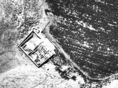
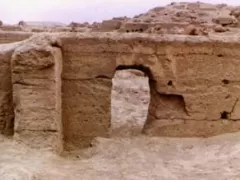
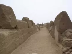
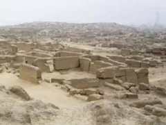
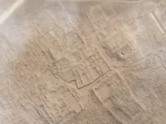
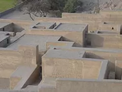
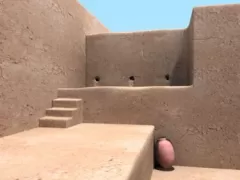
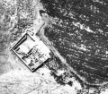
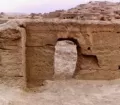
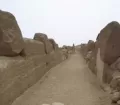
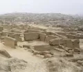
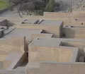
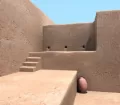
One of the very well-known archaeological sites right on the border with the district of San Juan de Lurigancho is the "Dead City" of Cajamarquilla. Cajamarquilla is located on km 15 of the Carretera Central near Huachipa. Around 500 AD the Wari built the archaeological complex on the remains of earlier settlements. Cajamarquilla developed to a major commercial, administrative and military city with a population of about 15,000 people. The extensive remains of the city include ancient dwellings include mud walls, pyramids, temples and streets. After the decline of the Wari other cultures like the Ichma and Inca occupied the city. Already the few investigations made in Cajamarquilla so far brought up a lot of information about ancient cultures and the city itself. Some archaeologists assume, that Cajamarquilla wasn't the main city of the Wari, in fact it was abandoned at this time. They assume that cultures before and especially after the Wari period like the Ichma left us this impressive site.
Just a few kilometers away on the plain of Cajamarquilla hundreds of strange man-sized holes were found carved into the barren rock. These holes stretch nearly for 2 km and seem to form some sort of way. Nobody knows who made them or why. Even archaeologists are without a conclusive and convincing clue.
Although Peru's Instituto Nacional de Cultura (INC) has recognized the importance of Cajamarquilla and the site was investigated and a couple of temples restored, the archaeological site seems to be forgotten. Land around the complex is dotted with squatters' houses built by peasants originally fleeing the political violence of the Shining Path in the 1980s and 1990s. Much of the site has been used as a latrine, dumping ground and grazing area. An estimated 25 percent of the site has been destroyed already. Hopefully soon the ancient city of Cajamarquilla will be treated with the necessary respect.
Puruchuco (Archaeological Complex)
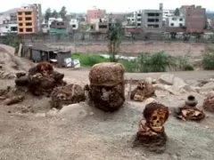
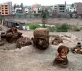
Another highly important archaeological site is Puruchuco. Located under and around a sprawling shanty town called Tupac Amaru, the population (immigrants from the jungle and highlands who fled the violence during Shining Path terrorist attacks in the 1980s and 1990s), first discovered the archaeological remains of a big palace and of the second largest cemetery in Peru, but burned all their findings in fear of having to leave their homes.
When excavations finally started they revealed completely new perceptions on the life and culture of the Incas that caused to sway many old theories. The archaeologist unearthed over 2200 Inca mummies. The bundles were found in a fetal position, accompanied by various objects for personal use: Typical Inca ceramics and food like corn, potato and alpaca meat. One of the most important discoveries was probably the finding of "El Rey del Algodón" (the Cotton King) who was covered in layers of around 150kg of unprocessed cotton and wore a feather hat. The Quecha word "Puruchuco" means in English "Feather Hat". Covered and buried with the presumed noble Inca was a small boy and many archaeologically valuable objects (ceramics, furs and corn).
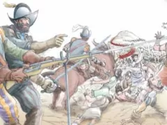
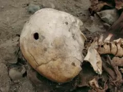
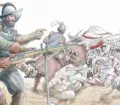
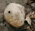
During the excavations of the great Inca cemetery in 2004 another amazing discovery was made in Puruchuco. Next to over 70, uncharacteristic for the Incas, chaotically and without any funerary objects buried bodies, archaeologists discovered the first known gunshot victim in the Americas. Many of these unearthed skeletons showed signs of violent hacking, tearing, and impalement with iron weapons. But one of the skulls bore entrance and exit wounds like those seen in shooting victims. Intensive investigation revealed that the Inca was shot during the Spanish conquest by a musket.
Despite historical documents showing Spanish brutality during the conquest of the New World, there was little physical evidence what actually happened to the native South Americans during and after the wars of conquest. This new discovery in Puruchuco is the first tangible evidence of Spanish violence towards indigenous peoples in South America and the first proof of murdering by firearms. Since the initial find at least two other apparent gunshot victims have been discovered. The onside Archaeological Museum nicely displays objects excavated at the Ruins of Puruchuco. Opening hours are Mondays to Sundays from 08.30 a.m. to 04.30 p.m. Due to the ongoing investigations it might not be possible to visit the whole site itself.
Parque Zoologico Huachipa (Zoo Huachipa)
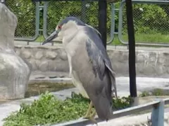
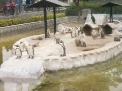
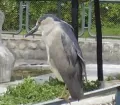
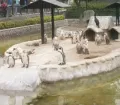
After so much culture a visit at the "Parque Zoologico Huachipa", one of Lima's two zoos seems to be just the right thing to do. The zoo is a nicely arranged refuge for over 2000 animals of more than 300 species. Next to 'international' animals many indigenous Peruvian animals (monkeys, pelicans, vicuñas, lamas, different birds, parrots, crocodiles, fish, turtles...) can be observed.
The zoo has a large natural and recreational area, including nicely maintained areas for the animals, gardens. You can enjoy a picnic, a small boat trip on the lagoon, the inviting playground with an interesting pirate boat for kids and the restaurant.The "Parque Zoologico Huachipa" can be visited Mondays to Sunday from 9.00 am to 5.30 pm.


